Section 05
Corridors
6 named routes across 49 jurisdictions.
Drug trafficking routes: the cocaine and heroin corridors
The named drug trafficking routes are not lines on a map so much as sequences of jurisdictions with exploitable differences between them. The cocaine trafficking routes out of the Andes and the heroin trafficking routes out of Afghan production both work the same way: value crosses a series of legal orders, and the corridor settles wherever the combination of geography, port oversight and statutory reach is most permissive. What follows describes the 6 corridors that carry most of the documented movement, and the legal position of each jurisdiction on them.
Section 01
Heroin
The heroin trafficking routes out of Afghan production
Three corridors carry opiates out of the same production base, and they differ in transport mode rather than in origin — which is what determines the enforcement tool that can reach each one. The heroin trafficking routes below are therefore best read by asking what moves the goods on each leg, not by where the line runs.
The Balkan route
The overland heroin corridor from Afghan production through Iran and Türkiye into south-eastern Europe. Its defining feature is that it is a road route: the goods move in commercial vehicles through functioning border posts, so the enforcement problem is customs capacity and corruption rather than interdiction at sea.
Jurisdictions on this corridor
Afghanistan · Pakistan · Türkiye · Bosnia and Herzegovina · Serbia · Albania · North Macedonia · Montenegro
The northern route
The same origin moving north through Central Asia. It crosses several jurisdictions whose drug legislation predates independence and whose borders were internal administrative lines within living memory, which is why the legal-framework question on this corridor is often one of statutory inheritance rather than of drafting.
Jurisdictions on this corridor
Afghanistan · Tajikistan · Uzbekistan · Kyrgyzstan · Turkmenistan · Kazakhstan
The southern route
Maritime movement out of the Makran coast across the Indian Ocean, reaching East and Southern Africa before onward transfer. The corridor is defined by dhow traffic rather than container shipping, which puts it beyond the reach of container-profiling programmes and inside the reach of naval interdiction.
Jurisdictions on this corridor
Pakistan · Somalia · Kenya · Tanzania · Mozambique · Mauritius · Seychelles
Section 02
Cocaine
The cocaine trafficking routes out of the Andes
The cocaine corridors share an origin region and diverge on the crossing. Two are maritime at their most exposed point and one is substantially overland, and that difference decides whether container control, naval interdiction or land border capacity is the operative constraint. The cocaine trafficking routes also differ from the opiate corridors in one structural respect: they cross an ocean, so there is a leg on which no jurisdiction has routine presence.
The West African corridor
Andean cocaine crossing the Atlantic to the West African coast for onward movement to Europe. Landing points concentrate where port oversight is weakest rather than where the geography is shortest, and the corridor has repeatedly shifted along the coast in response to enforcement rather than disappearing under it.
Jurisdictions on this corridor
Colombia · Venezuela · Brazil · Guinea Bissau · Guinea · Senegal · Gambia · Cabo Verde · Sierra Leone · Liberia · Ghana · Nigeria
The Caribbean corridor
Movement north through the island chain by go-fast vessel and light aircraft. The jurisdictions on it are small, numerous and legally distinct, several of them dependent territories whose treaty obligations arrive by extension — so a single corridor crosses more legal orders in a few hundred kilometres than any other in this dataset.
Jurisdictions on this corridor
Colombia · Venezuela · Trinidad and Tobago · Saint Vincent and the Grenadines · Saint Lucia · Barbados · Dominica · Antigua and Barbuda · Anguilla · British Virgin Islands · Dominican Republic · Jamaica
The Central American isthmus
The land and littoral corridor from the Andean producing countries through the isthmus towards North America. It is the most heavily policed corridor in the dataset and the one where displacement is best documented: pressure at one crossing reliably moves the traffic to the next rather than reducing it.
Jurisdictions on this corridor
Colombia · Panama · Costa Rica · Nicaragua · Honduras · El Salvador · Guatemala · Belize · Mexico
Section 03
Reading a corridor
Why drug trafficking routes persist and why they move
Drug trafficking routes are stable for as long as their weakest crossing stays weak, and the weak point is rarely the border itself. It is more often the port that cannot scan enough containers to matter, the authority whose mandate stops at the water's edge, or the mutual legal assistance route that takes longer than the prosecution's evidential deadline. Those are institutional properties, and they change slowly.
When traffic does shift it usually shifts along a corridor rather than off it, because the infrastructure — the shipping lane, the trusted intermediaries, the settlement route — is what is expensive to replace, not the crossing point. That is why the West African corridor has repeatedly relocated between neighbouring coastlines without ceasing to be the West African corridor. This is also why drug trafficking routes are named for their region rather than for a fixed itinerary. The enforcement techniques that address these constraints are set out on the enforcement page, and the financial leg on illicit finance.
Section 04
Questions
Questions about trafficking corridors
What are the main drug trafficking routes?
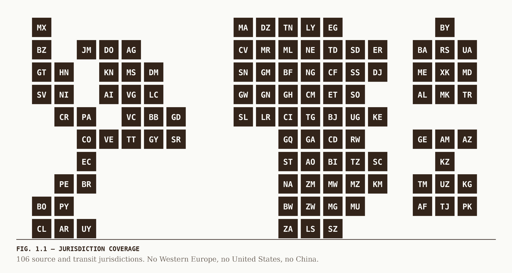
For the commodities this site covers, six named corridors carry most of the documented movement: the Balkan, northern and southern routes for heroin out of Afghan production, and the West African, Caribbean and Central American corridors for Andean cocaine. Each runs through jurisdictions covered in the 106-record index, and each is described below by the legal orders it crosses rather than by volume.
Why does this site not publish tonnage figures for each route?
Because the credible estimates are seizure-derived, and seizures measure enforcement activity at least as much as they measure flow. A corridor with rising seizures may be carrying more, or may be policed harder, and the two are not separable from the published data. Route descriptions here therefore cover mechanism, geography and legal position, which are verifiable.
Do trafficking routes actually move when enforcement increases?
Displacement along a corridor is the best-documented effect in this area — pressure at one crossing point shifts traffic to the next viable one, frequently within the same corridor and sometimes within weeks. Displacement between corridors is slower and requires different infrastructure, so it happens over years rather than months.
How do routes relate to the legal framework on each country page?
A corridor crosses jurisdictions with different offences, different penalties and different enforcement authorities, and that unevenness is what a route exploits. Each corridor below links to the records of the jurisdictions on it, where the treaty position, the confirmed national instruments and the current monitoring status are set out.